Draw a Polygon or Circle
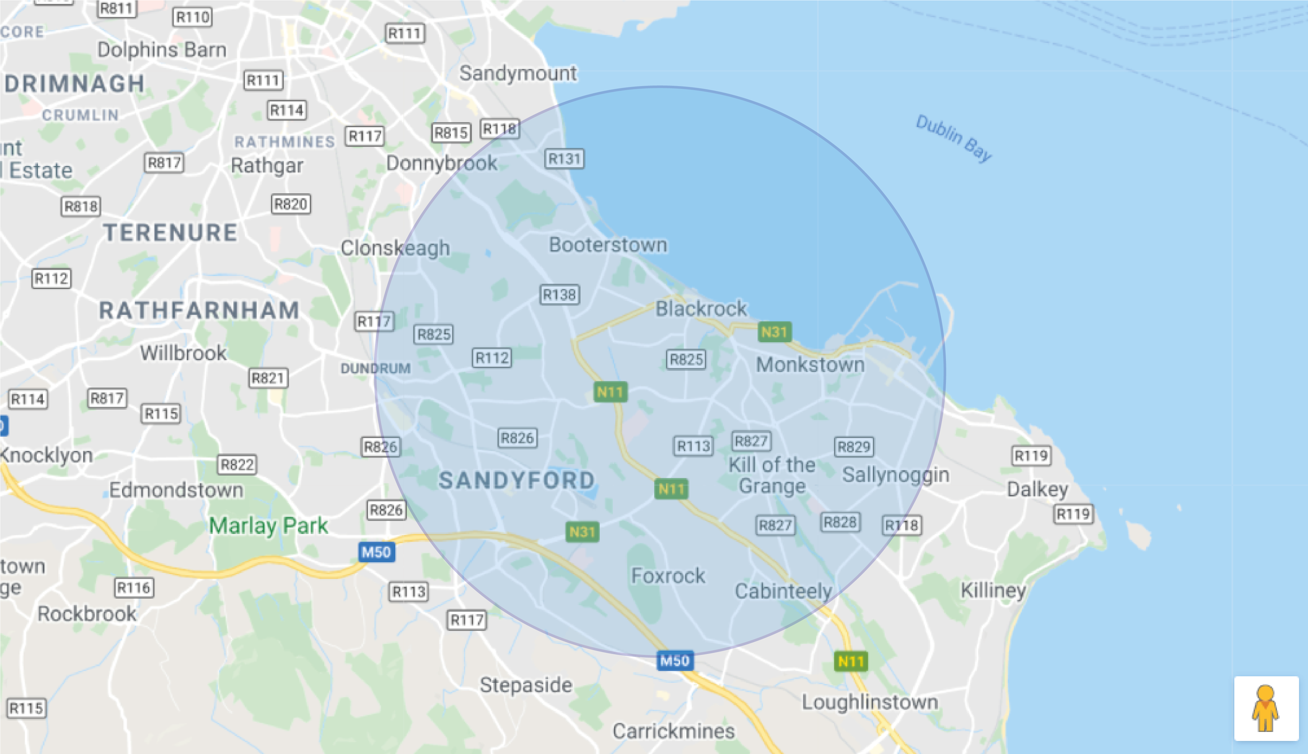
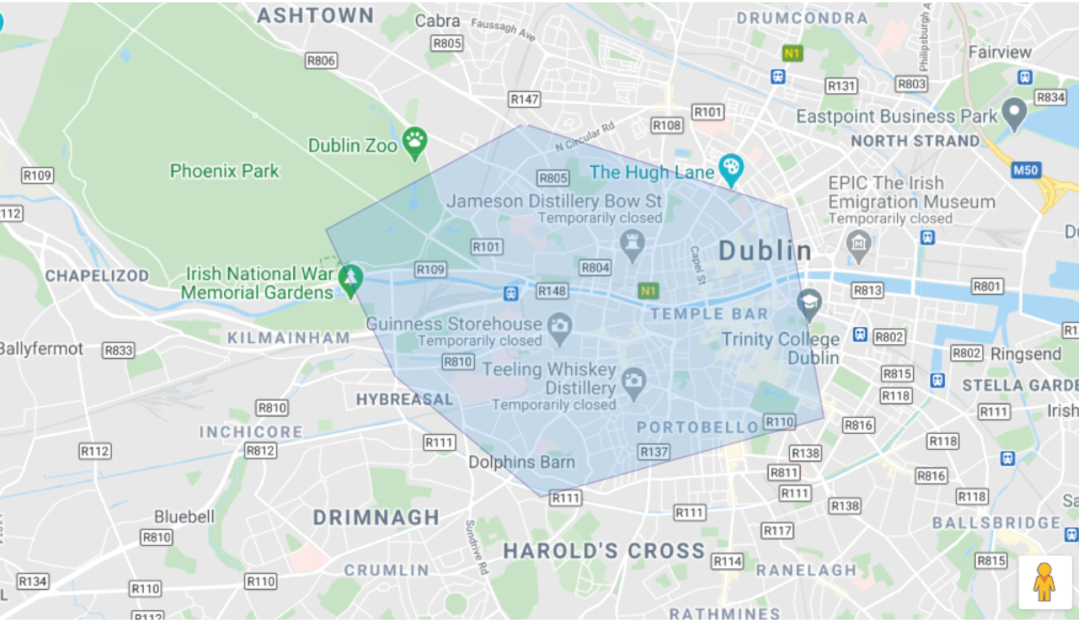
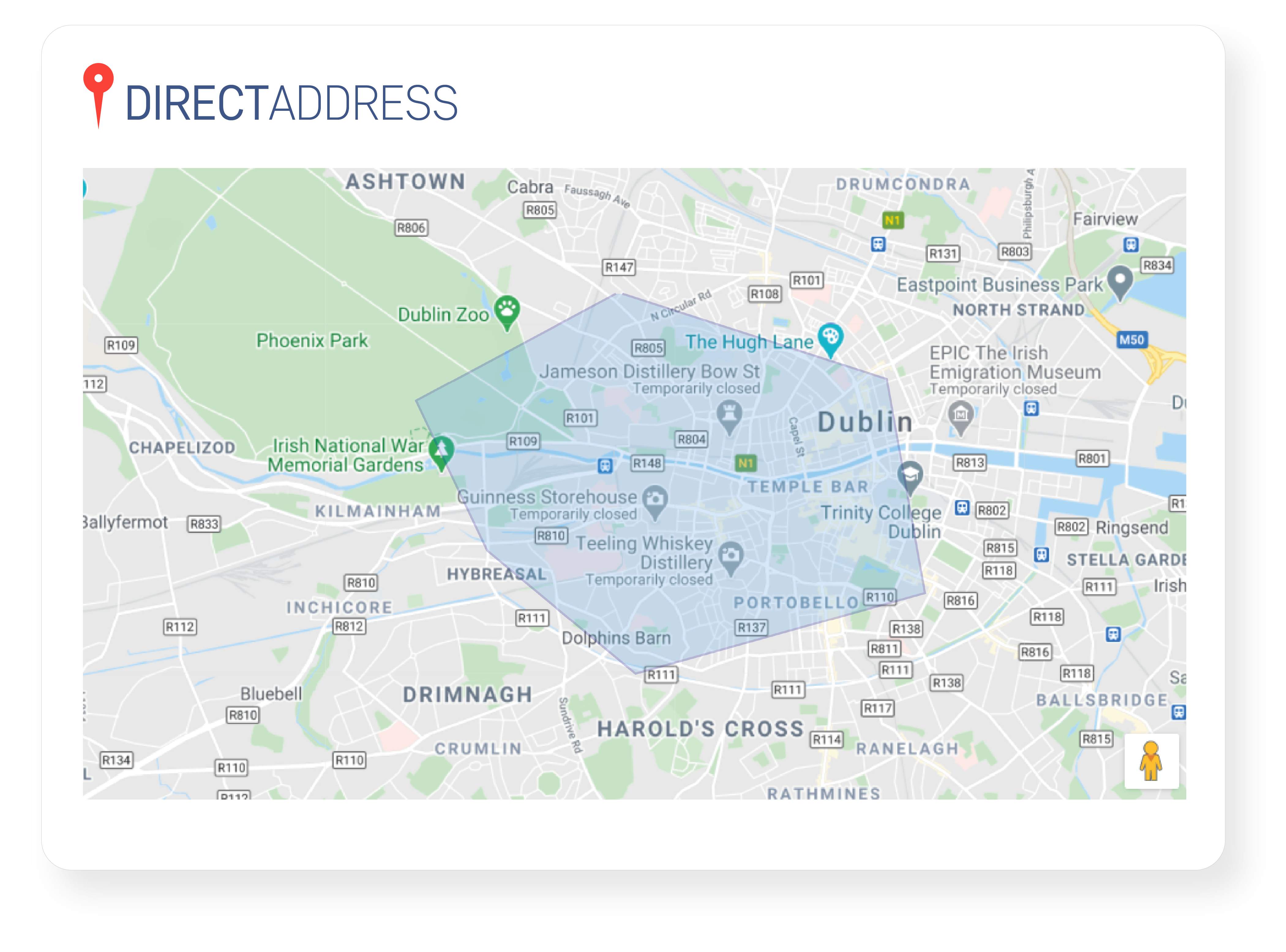
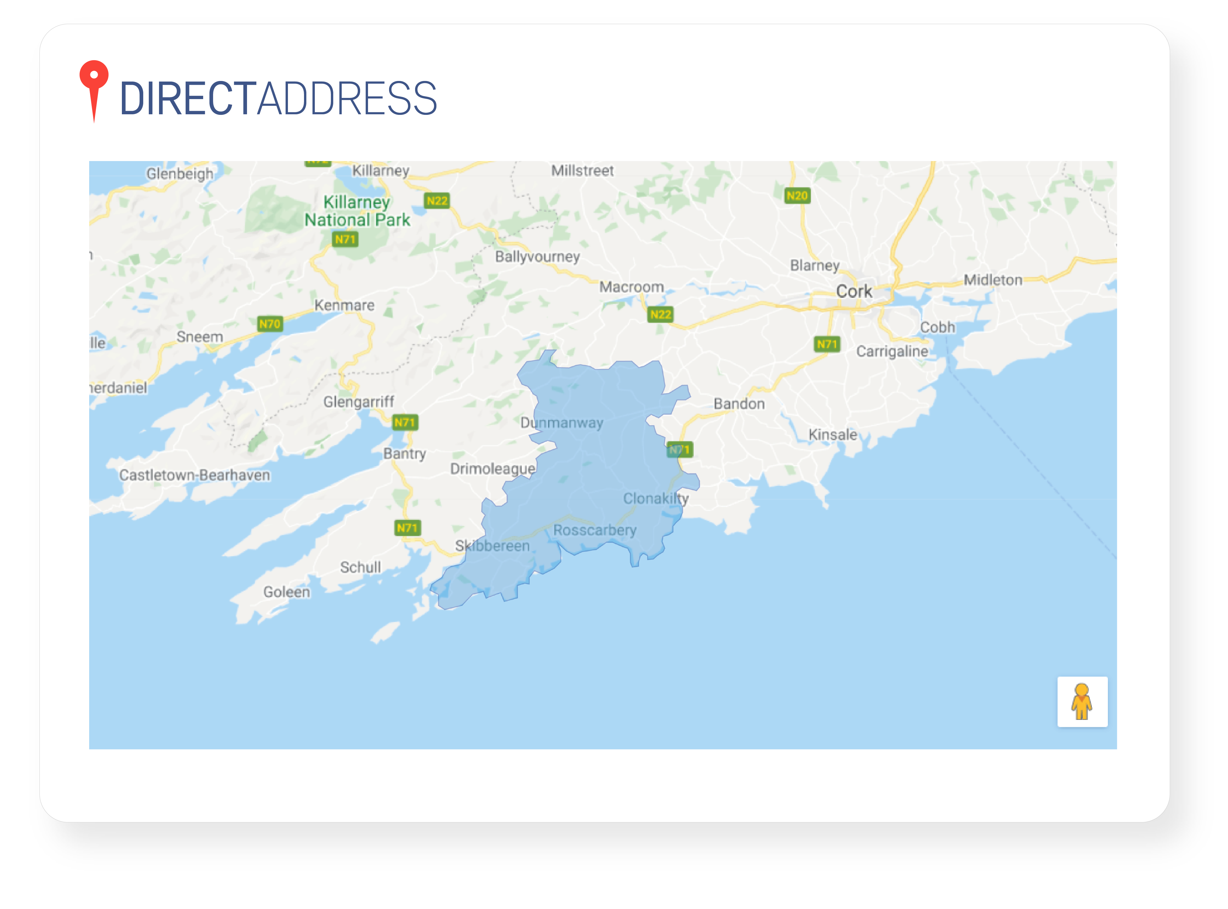
Draw a polygon or circle on the mapping tool to gather all of the addresses/Eircodes/Postcodes from a specific geographical location.
Polygon/circle mapping works great for services that are only available in specific areas or regions (e.g. delivery or telecommunication services), or who need to identify addresses in specific locations.
Draw a Polygon or Circle
Draw a polygon or circle on the mapping tool to gather all of the Eircodes/Addresses from a specific geographical location.
Polygon/circle mapping works great for services that are only available in specific areas or regions (e.g. delivery or telecommunication services).
Import Geographical Areas
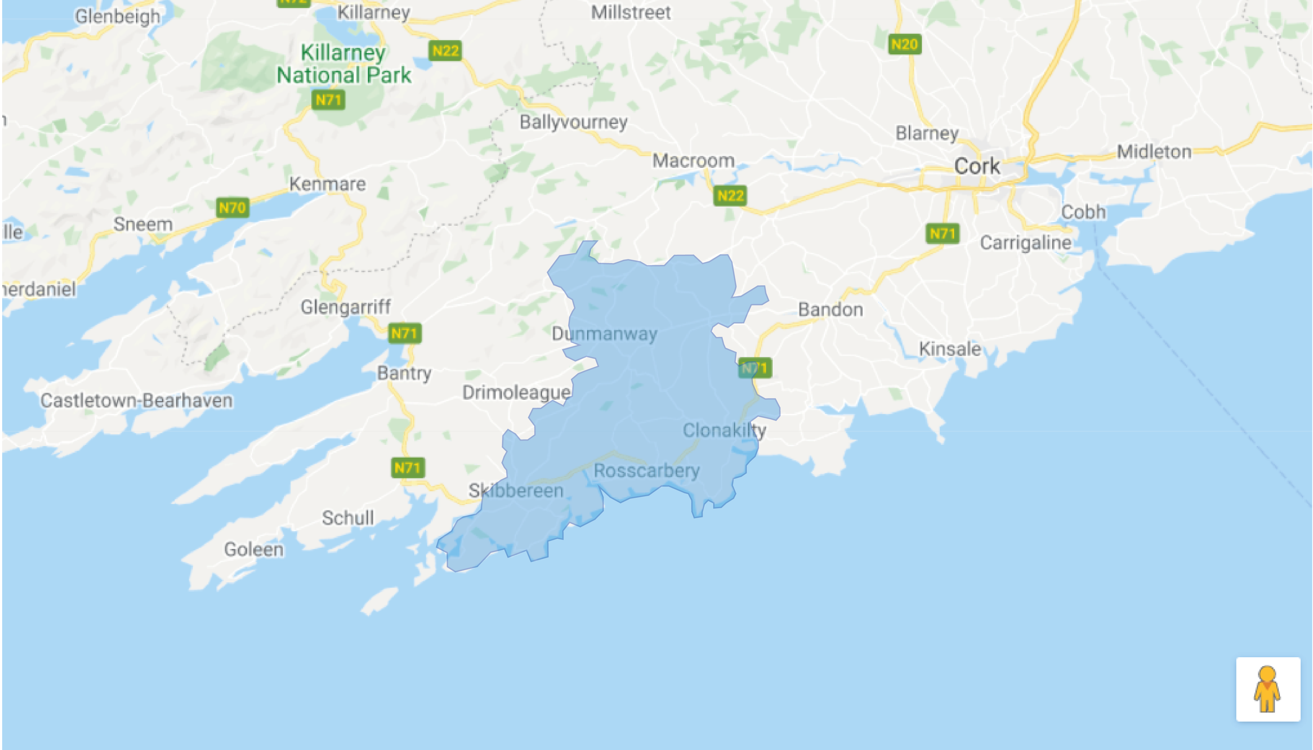
Spreadsheets containing latitude/longitude pairs can be imported into DirectAddress and used to map out a polygon of a specific area.
This is useful for organisations that wish to gather data based on very specific geographical locations.
Coordinate Search
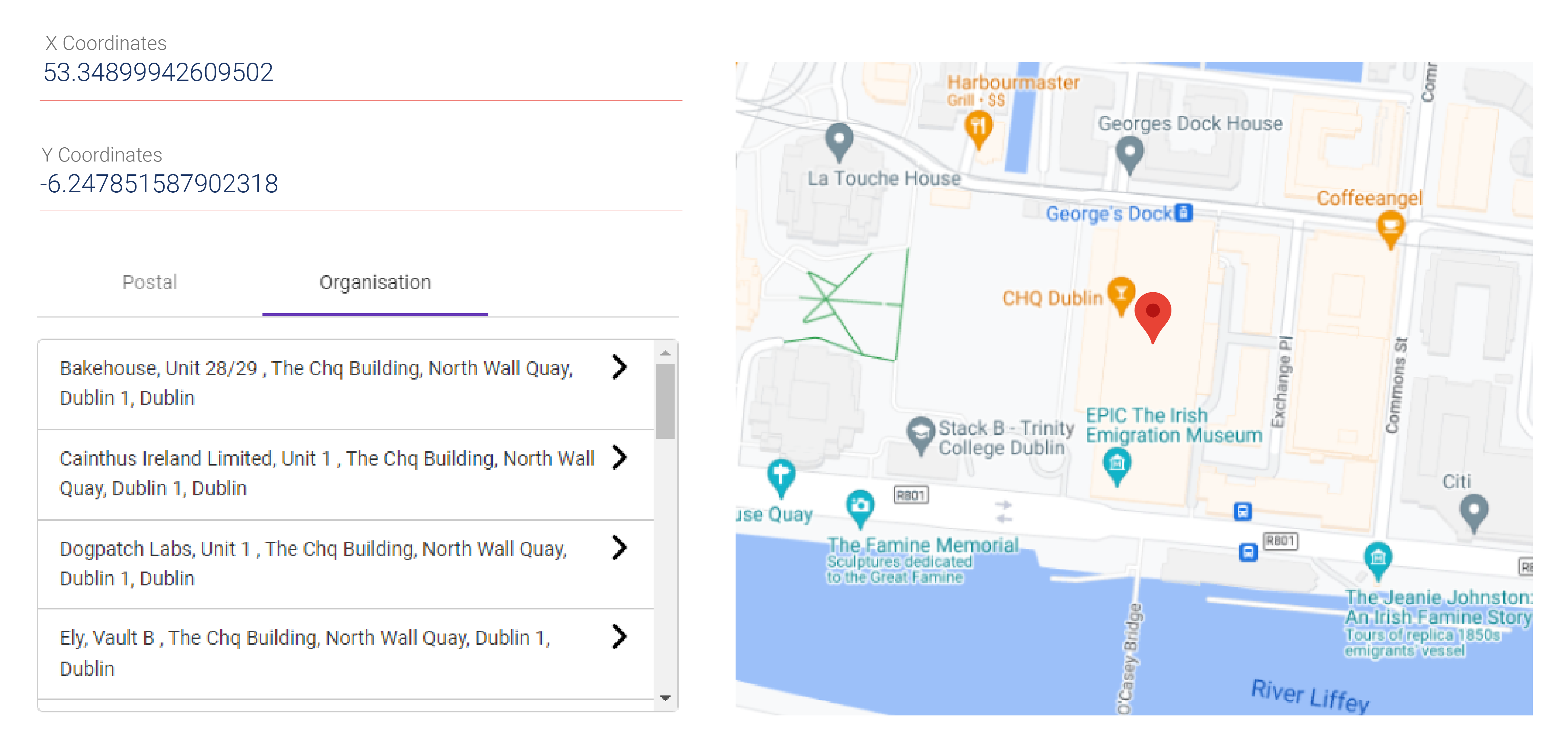
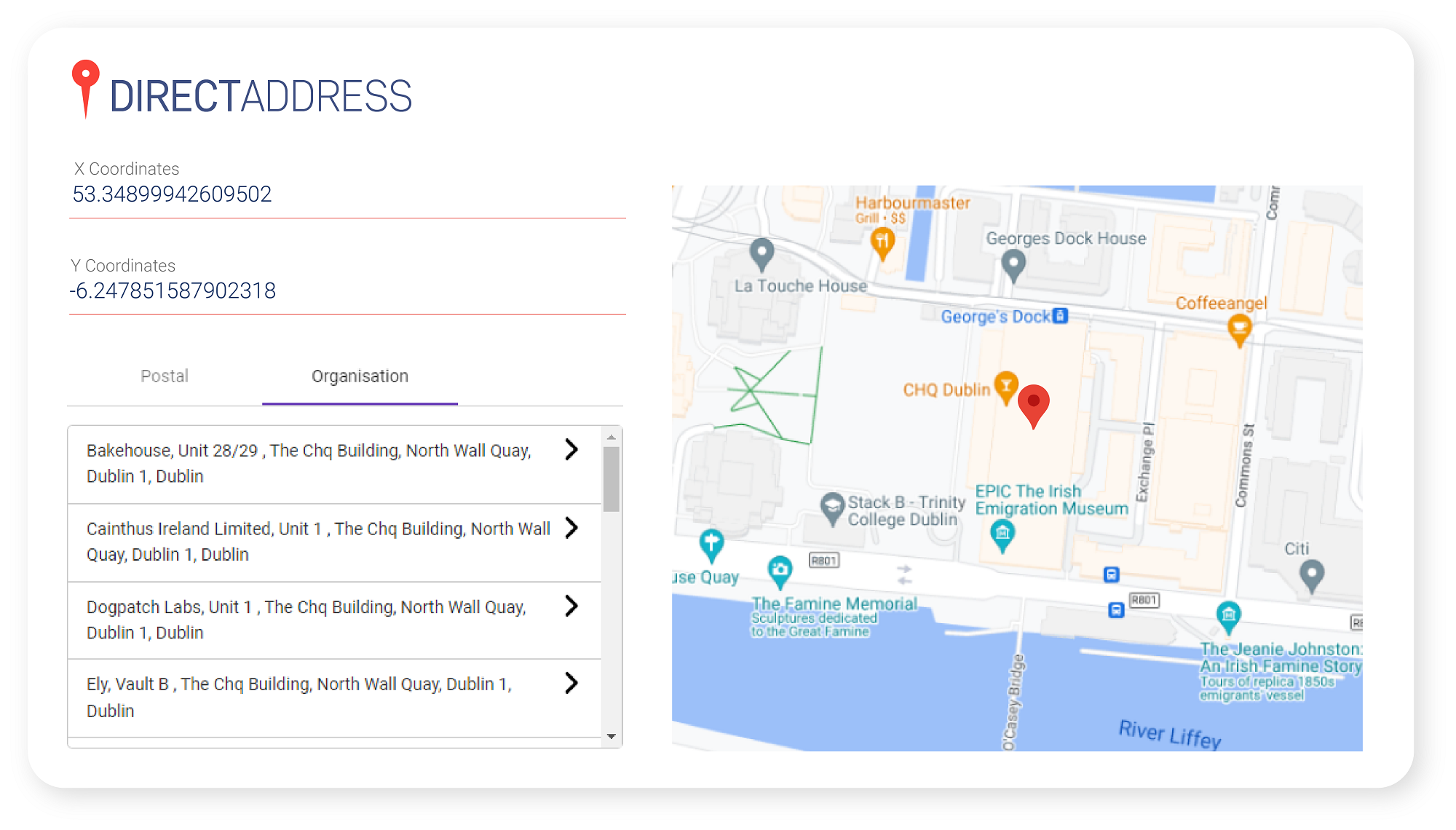
DirectAddress allows users to enter latitude and longitude coordinates to return all address records at the location.
Entering X and Y coordinates provides users with a dropdown list of both postal and business addresses, whilst displaying the location on a map.
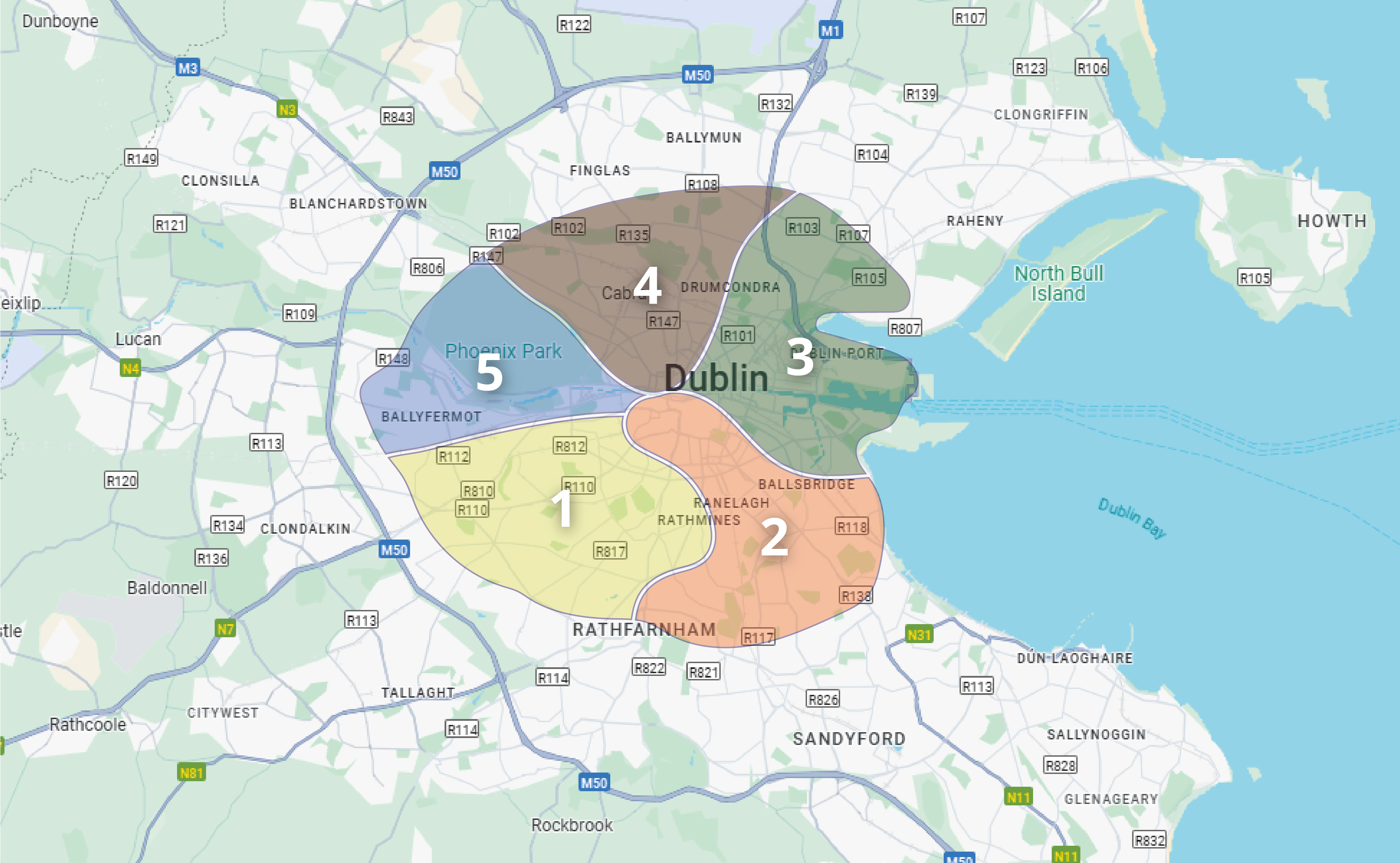
Zone Finder
By providing us with details of your business zones or territories, DirectAddress users can avail of our Zone Finder feature. This allows us to return an additional field with your Eircode return, so users can quickly identify the corresponding addresses and Eircodes within those zones.
This helps streamline the process of mapping and locating addresses, offering enhanced accuracy for professionals. Whether for urban planning, delivery services or local navigation, the ability to identify addresses by zone simplifies the address lookup process.
Interested in finding out more about the features we offer?
Simply call us on +353 1 8041298 or pop your business email in the field below, hit the ‘contact us’ button and we’ll be in touch!
Interested in finding out more about the features we offer?
Simply call us on +353 1 8041298 or pop your business email in the field below, hit the ‘contact us’ button and we’ll be in touch!


